By Joujou Chawla
Children's playgrounds, vast regional wilderness areas, and walkable community greens make Danville an unusually practical choice for households where recreation is a priority. One can cycle the Iron Horse Regional Trail, hike the rugged ridge trails of Las Trampas, or summit Mount Diablo nearly any given day.
Few communities in Contra Costa County put this much variety within such a short drive.
Key Takeaways
- Hap Magee Ranch Park: A dog-friendly community park with open lawns and picnic areas on a historic ranch site in central Danville.
- Iron Horse Regional Trail: A paved multi-use corridor running the length of the San Ramon Valley, built along the former Southern Pacific railroad right-of-way.
- Las Trampas Regional Wilderness: Thousands of acres of oak woodland and grassland in the hills west of Danville, managed by the East Bay Regional Park District.
- Mount Diablo State Park: A nearly 4,000-foot summit with an extensive trail network accessible via Diablo Road from the heart of town.
Hap Magee Ranch Park
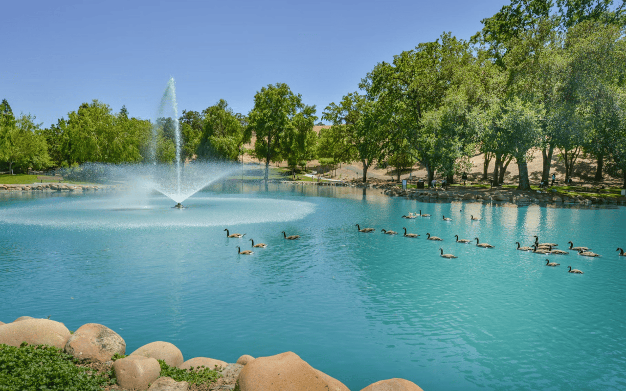
Hap Magee Ranch Park sits on a site with roots in the working ranches that once defined the San Ramon Valley, and the Town of Danville has developed it into one of the area's more community-oriented recreational spaces.
- Dog off-leash area: One of Danville's designated areas for off-leash dogs, drawing pet owners from surrounding neighborhoods on a consistent basis throughout the week.
- Picnic facilities: Sheltered and open picnic areas spread across the park's grounds, available for casual use and group gatherings without advance reservation.
- Open lawn: Wide, flat green space suited to informal recreation, making it a practical option for those who want room to move without organized sports infrastructure.
The park's relaxed, unstructured character appeals to a different kind of outdoor user than the trail networks and wilderness areas that define Danville's broader park system.
The Iron Horse Regional Trail
The Iron Horse Regional Trail runs through the heart of Danville along the former Southern Pacific railroad corridor, connecting the town to neighboring communities across the San Ramon Valley and extending for dozens of miles in both directions.
- Cycling: The paved, largely flat surface makes it one of the more accessible cycling routes in the East Bay, drawing commuters, casual riders, and more serious cyclists in equal measure.
- Running and walking: Separated from vehicle traffic for most of its length through Danville, the trail provides a consistent, well-maintained surface for daily running and walking routines.
- Connections: The trail links to neighborhood parks, downtown Danville, and additional trail networks at both ends, supporting point-to-point outings as well as longer out-and-back routes.
Managed by the East Bay Regional Park District, it's one of the most actively used recreational corridors in Contra Costa County and passes directly through downtown Danville.
Las Trampas Regional Wilderness
Las Trampas Regional Wilderness occupies thousands of acres in the hills directly west of the San Ramon Valley, offering a more demanding outdoor experience than Danville's community parks while remaining accessible in a short drive.
- Hiking routes: A network of trails ranging from moderate valley-floor paths to steeper ridgeline climbs, suited to hikers across a range of fitness levels and experience.
- Equestrian access: Many trails within Las Trampas are open to horses, reflecting the East Bay Regional Park District's multi-use approach to trail management in the area.
- Wildlife and natural setting: The wilderness area supports deer, raptors, and native plant communities that provide a natural experience distinctly different from Danville's maintained parks.
Las Trampas offers the kind of serious outdoor access that few Bay Area suburbs can offer this close to residential neighborhoods.
Mount Diablo State Park
Mount Diablo rises to nearly 4,000 feet above the San Ramon Valley and serves as the defining natural landmark of the surrounding region. Tens of thousands of acres of trails and open terrain are accessible via Diablo Road from central Danville.
- Summit trails: Multiple routes reach the peak from various trailheads, offering views that on clear days extend to the Sierra Nevada and the Farallon Islands off the San Francisco coast.
- Rock City: An area of dramatic sandstone formations near the park's south side, with accessible short trails suited to families and casual visitors.
- Wildflower season: The park's grasslands and chaparral produce notable wildflower blooms in spring, drawing hikers for the seasonal color across the open slopes.
No park in Danville CA offers a more distinctive or dramatic backdrop than Mount Diablo. Visit during the early morning for quieter trails and clearer views.
FAQs
What Danville park is best for dogs?
Hap Magee Ranch Park includes a designated off-leash area and is the most dog-focused option among Danville's community parks. Most of Danville's neighborhood parks and trail corridors also welcome leashed dogs.
Is the Iron Horse Regional Trail suitable for beginners?
The Iron Horse Trail is paved, relatively flat through Danville, and separated from traffic for most of its length, making it well-suited to cyclists and runners of all experience levels.
How difficult is hiking at Mount Diablo State Park?
Mount Diablo offers trails across a wide range of difficulty, from short, accessible walks near Rock City to demanding summit routes with significant elevation gain.
Work With Joujou Chawla
The parks in Danville CA are one of the most tangible expressions of what separates daily life here from other parts of the East Bay. Whether the priority is a dog-friendly park within walking distance, a front door connection to the Iron Horse Trail, or a short drive to Mount Diablo's trailheads, the right Danville address can deliver on all of it.
I'd love to help you find a Danville home that fits your outdoor lifestyle. Contact me, Joujou Chawla, to get started.